North
Cascades 1968 with the Explorers Club of Pittsburgh
6. The Glacier Peak Climb
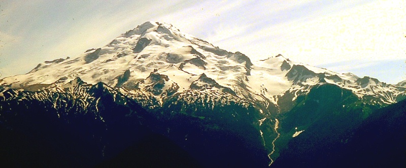 |
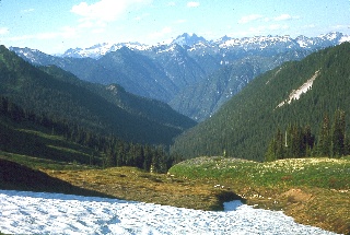
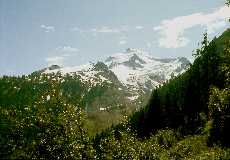
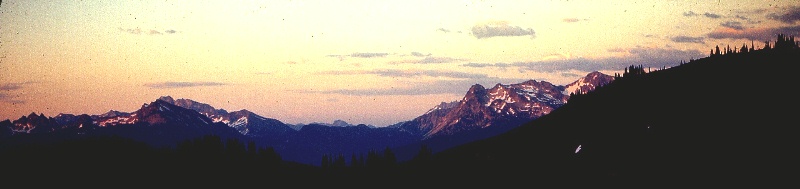
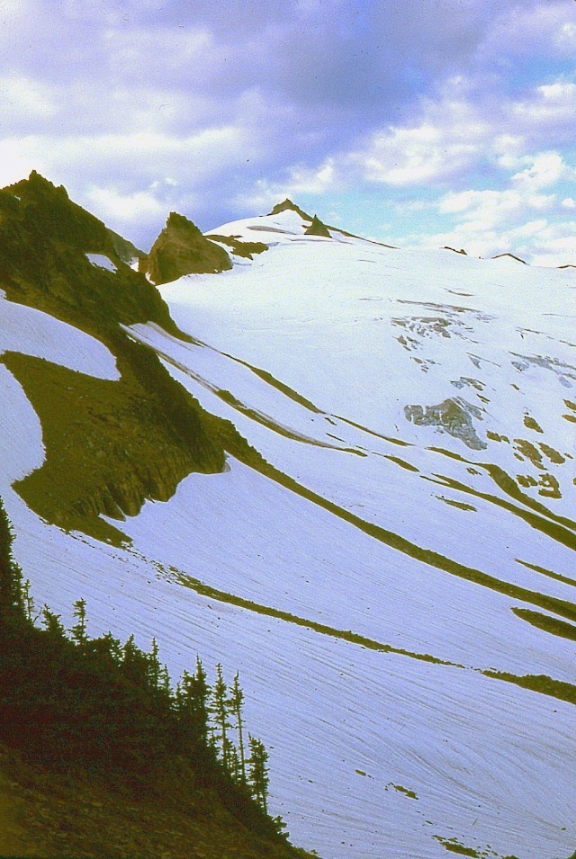
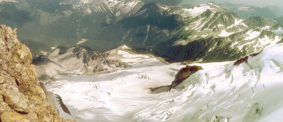
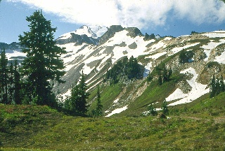
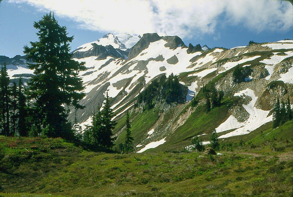
| The image above looks southwest from Image Lake on Miners Ridge, showing essentially our entire route. First, we crossed the Suiattle River below Miners Ridge. Then we hiked up Vista Creek, the only stream visible above, via a good trail. We made our base camp on that dark mass to the right of the bottom of Vista Glacier. Then we ascended Vista Glacier, directly above that stream at bottom right. At the intermediate peak at the upper left corner of Vista Glacier, we turned left up the narrow band of snow, traversing in the shadows of the rotten rock cliffs along the smooth path of snow, with the final push right up between the "rabbit ears." We made a false turn to the wrong side of the rabbit ears and quickly realized it was wrong upon coming out at the top of a cliff of several hundred feet of very rotten looking rock, so we back-tracked and got it right on the second try. On our way back down we noted that a couple hundred pounds of rock lay upon our footsteps below that first cliffy stretch. We stayed roped up most of the way because of the uncertainty of what lay beyond our line of sight on the many convex snow slopes. We did not see or cross any known crevasses or even any icy stretches. We hiked out via the Milk Creek trail to the Suiattle River Road. A ranger watching from a fire tower reported to us that he had watched us through his telescope all day long, as he thought we were the first party to make the climb from the north side of the mountain that season. It's about a seventy-five-mile walk from Holden to the Suiattle River Road, not to mention the side trips to the summits of Bonanza Peak and Glacier Peak. |
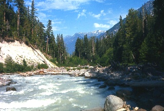 |
Looking
downstream along the Suiattle River. We crossed this stream
in order to get to the start of the Vista Creek trail. |
 |
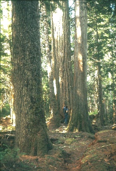 |
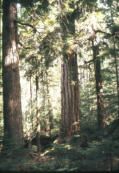
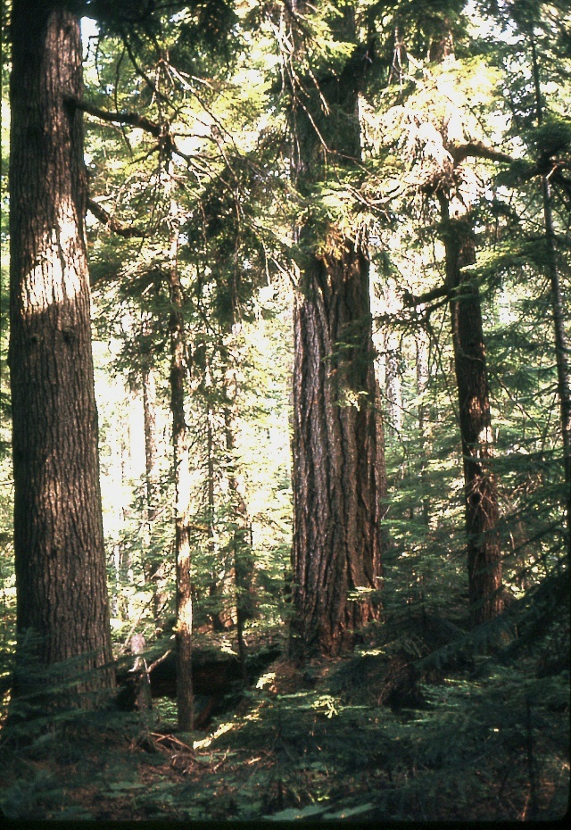
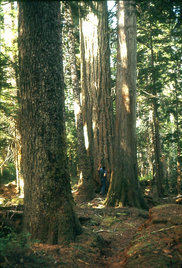
At first glance,
the trees
at left are either very
big or very close to the camera. At
right, Mike gives some scale. |
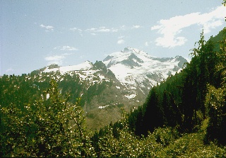 |
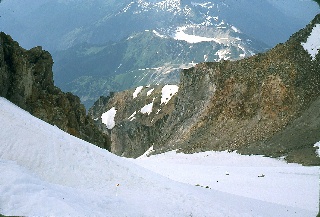
This was our first
glimpse of our objective upon emerging from the woods along Vista
Creek, which is below to the left (east). |
 |
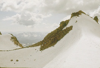
We made our base camp near here, above
tree line on Glacier Peak. Next two images: Nearing sunset and nearing our best choice of base camp. |
 |
 |
 |
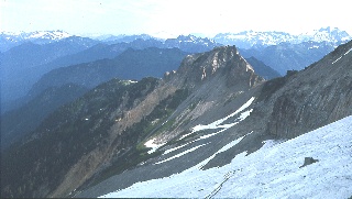
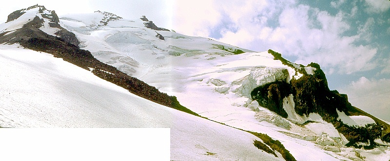
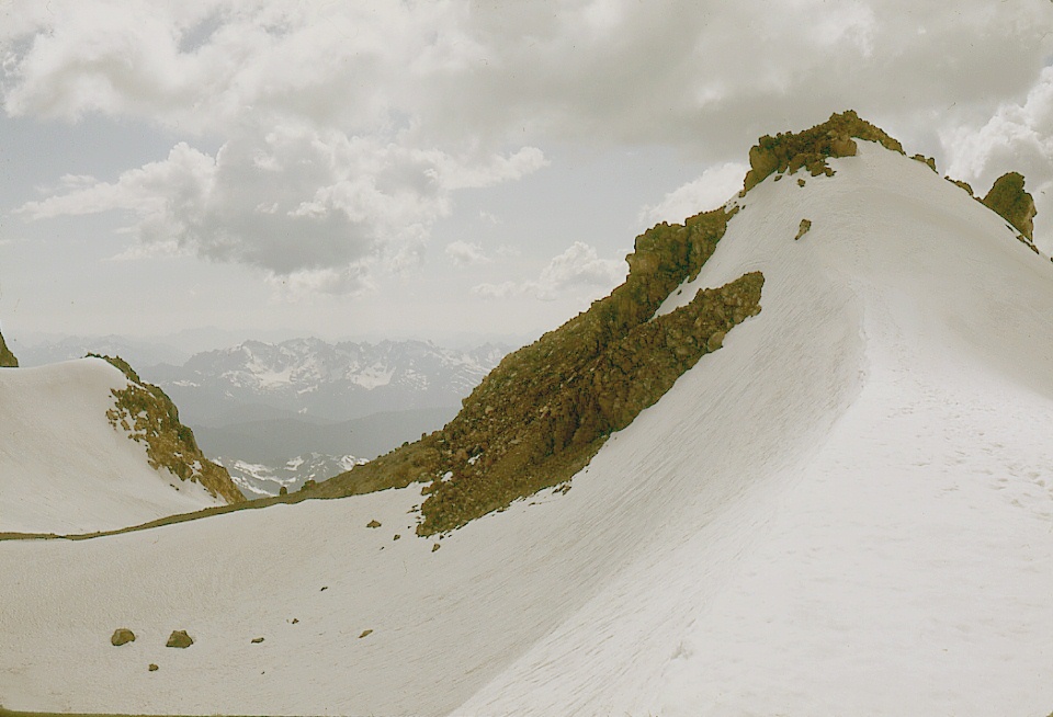
This is a much closer view of the upper
portion of Vista Glacier, viewed from about the same compass
direction as in the image of Glacier Peak from
Miners Ridge at the top of this page. We turned to the left
up the snowfield in the left foreground. |
 |
Upong gaining the eastern lobe of Vista Glacier, we could
see that we were above Gamma
Peak already. |
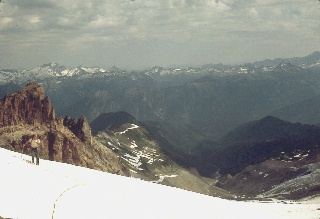 |
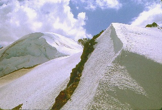
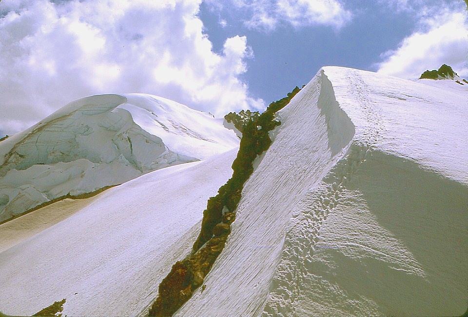
Swinging
around to the left, the camera caught Ken gazing towards Gamma
Peak. The valley of Vista Creek lies to his left. Base camp
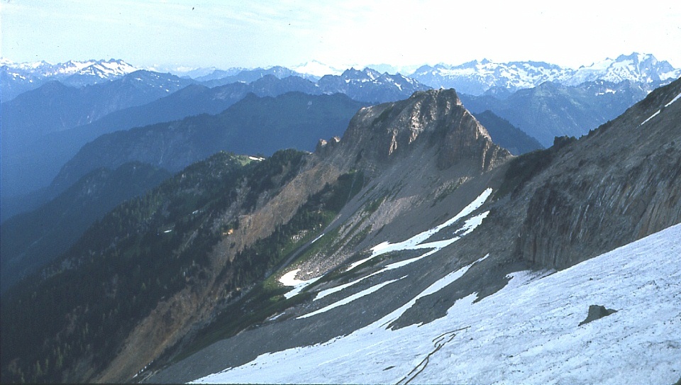
is on the ridge among the snowfields also to Ken's left. Below: Combined photographs showing the route we didn't take up the messy looking Kennedy Glacier. Our route went around to the left of the knob at left and along the left hand skyline. |
 |
 |
Looking down at Ken at the other end of our rope at the
extreme eastern edge of Vista
Glacier. |
 |
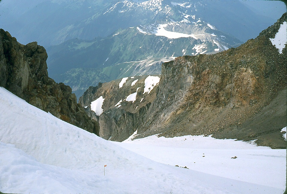
Looking up from the same vantage point as for the image
above towards the formidable
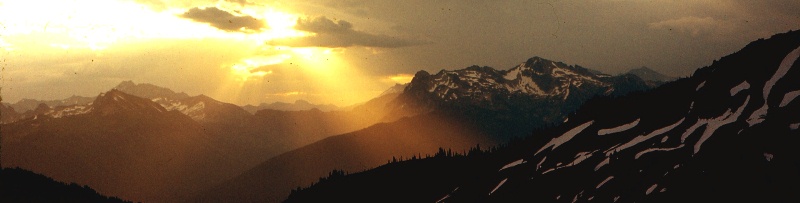
500 foot ice cliff below the summit of Glacier Peak. Below: Composite of photographs of the Dusty Glacier above the valley of the Suiattle River, swinging around from right to left. Tenpeak Mountain is at extreme right. The two photographs were made from slightly different positions, so they don't meet quite right at top right center. |
 |
 |
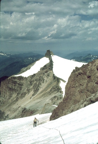
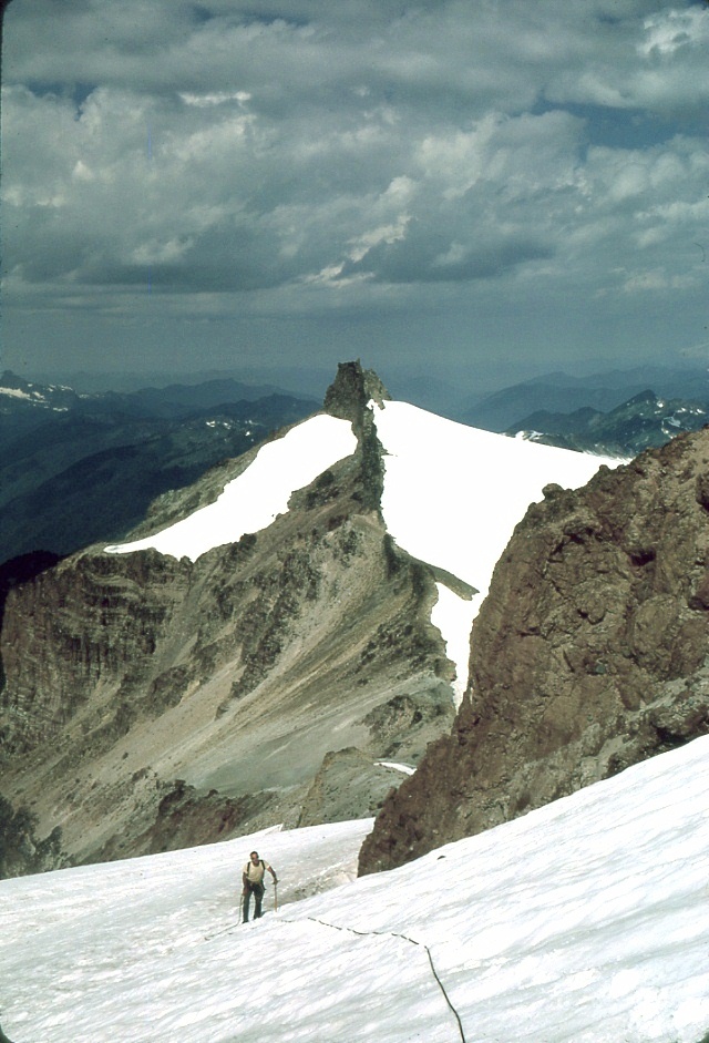
At first we tried going between the two
little peaks at extreme left, but that path led to an imposing, several hundred foot rubble cliff that
would have been next to impossible to descend safely. |
 |
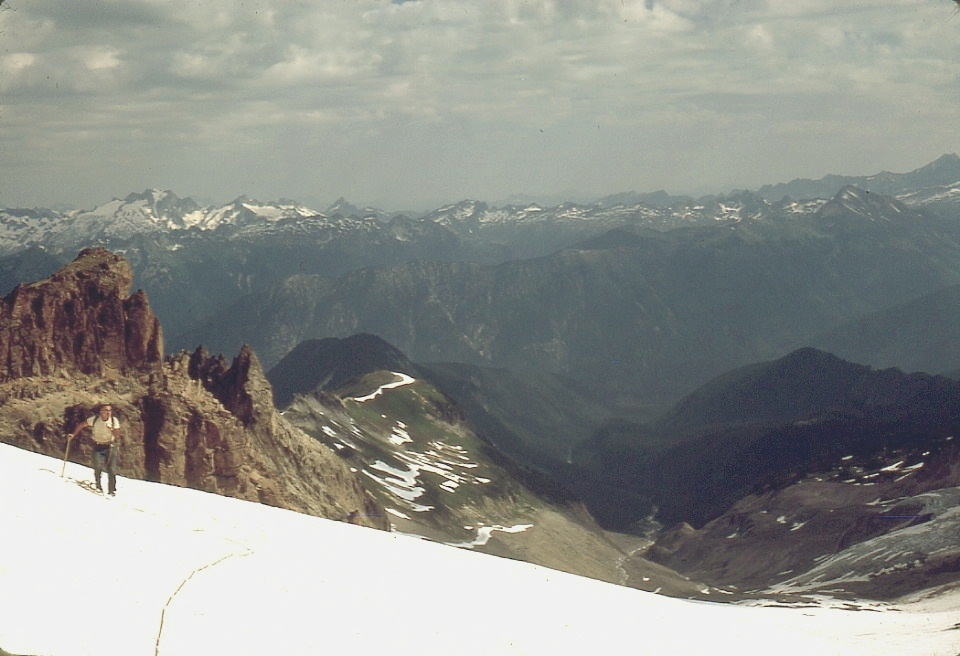
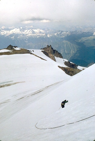
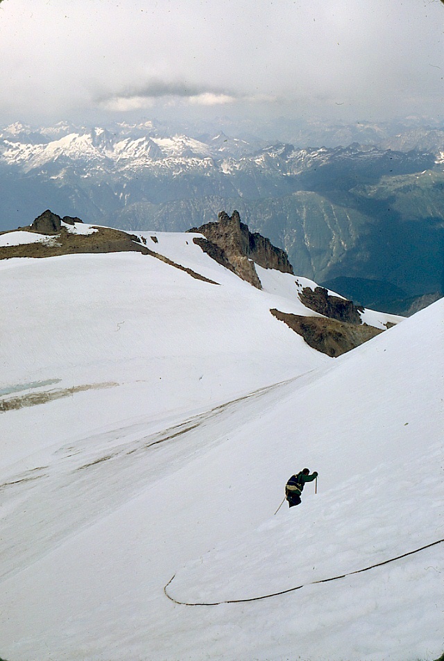
The views from the summit were less than spectacular because
there was so much mountain underneath our feet blocking the
views. The
shot at left shows the way down ... it was getting late. |
 |
Now, as we descend, the rabbit
ears are very plainly visible straight ahead, and that nasty cliff
is peeking out from behind the snow slope at the right. |
 |
Back near base camp, the mountain
still looks quite appealing. We didn't actually find Mike at
our tent until well after dark, however. |