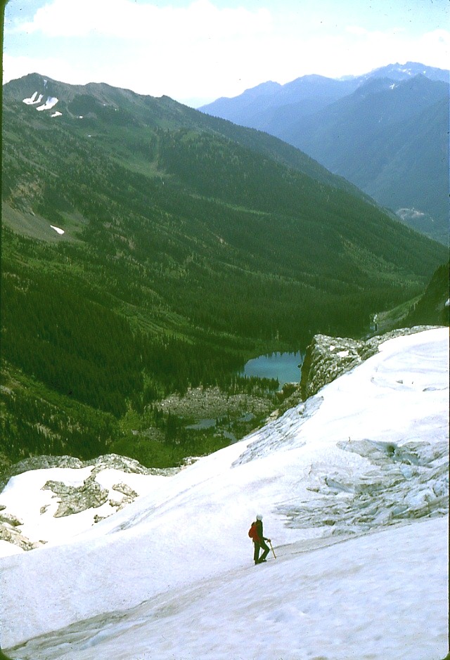
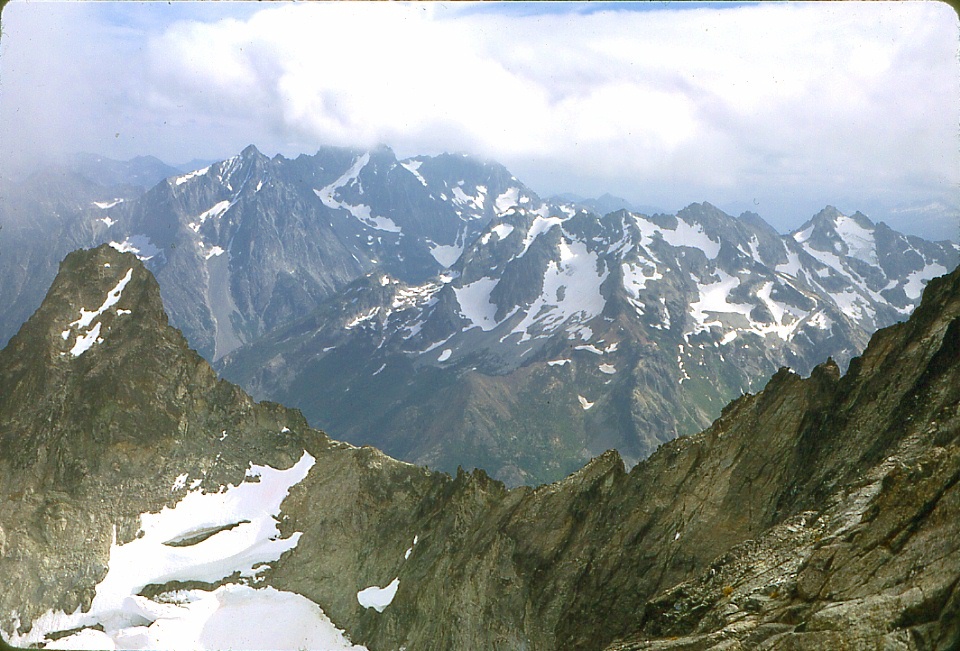
 We're on
our way up now ! Mike is standing on the lower portion of
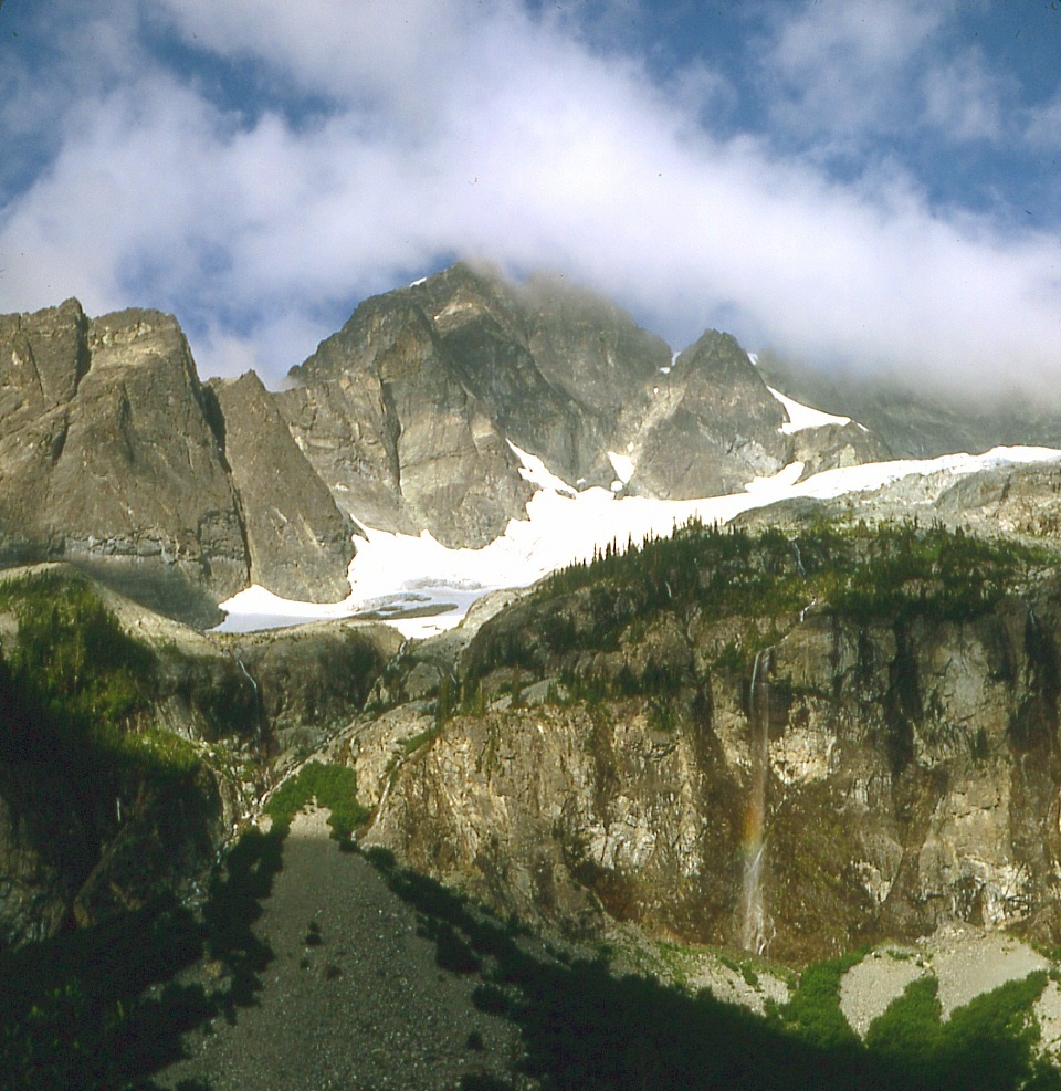
Mary Green Glacier looking down at Holden Lake.
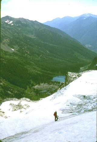
We're on
our way up now ! Mike is standing on the lower portion of
Mary Green Glacier looking down at Holden Lake.The topographic map of Bonanza Peak is here.
However, this map shows our entire route. Be sure to update the map to 1:100,000 to see the whole route from Holden Lake via the Mary Green Glacier.
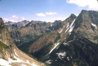
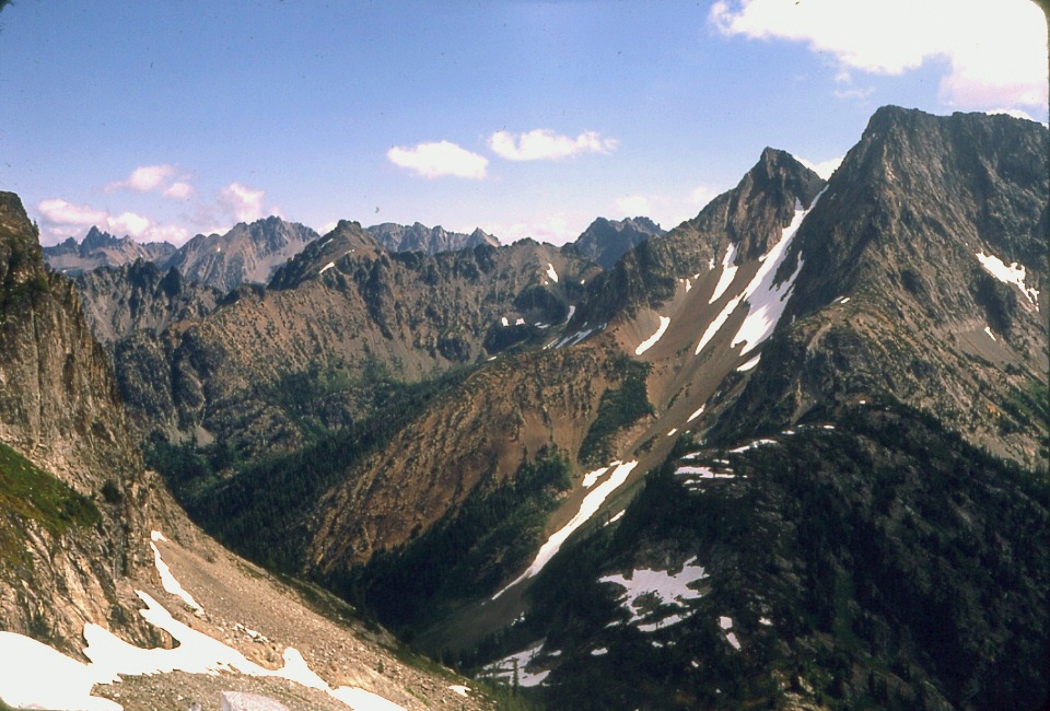
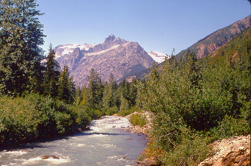
All of our route information came from the Holden Quad of the USGS 1:62500 series topographic map and the 1961 edition of the Climber's Guide to the Cascade and Olympic Mountains of Washington, by a Committee of the Cascade Section of the American Alpine Club, to wit:
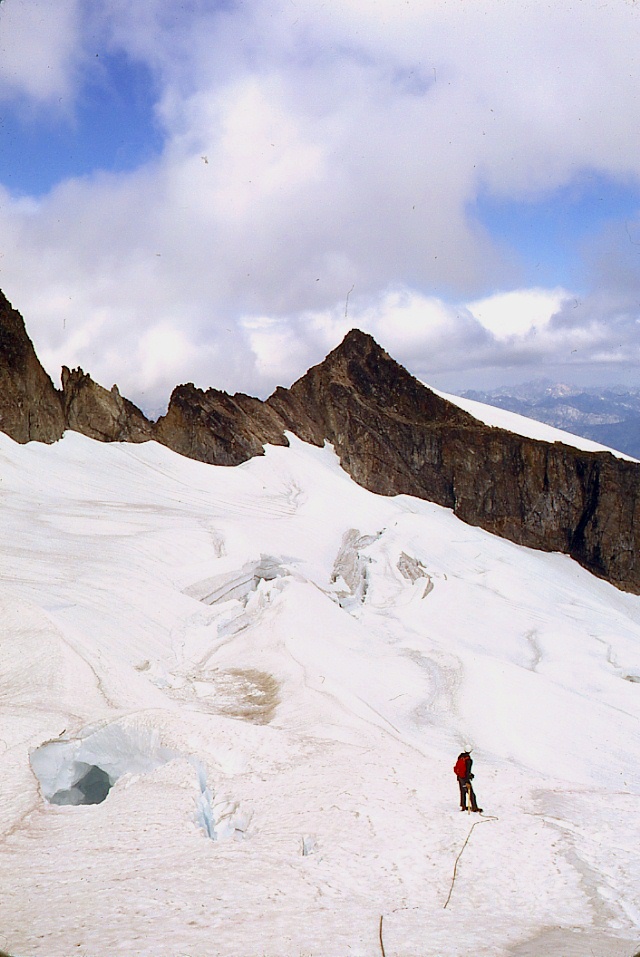
Route 1. From 1-1/2 miles W. of Holden take the 2-mile brushy trail to 5200-ft. Holden Lake where camp can be made. Climb N. up talus and snow toward Holden Pass (6400), bearing W. onto Mary Green Glacier. Just before reaching the pass, ascend diagonally left under the cliffy summit structure and climb an icy apron to its upper right hand corner. Ascend slabby rock up and to the left, reaching the ridge at a prominent notch 100 yards N.E. of the summit. The ridge is easily followed to the summit. The upper rocks are Class 3 when free from snow, but before August, with snow on the face, the climb becomes difficult and dangerous. Time: 8-10 hours up.
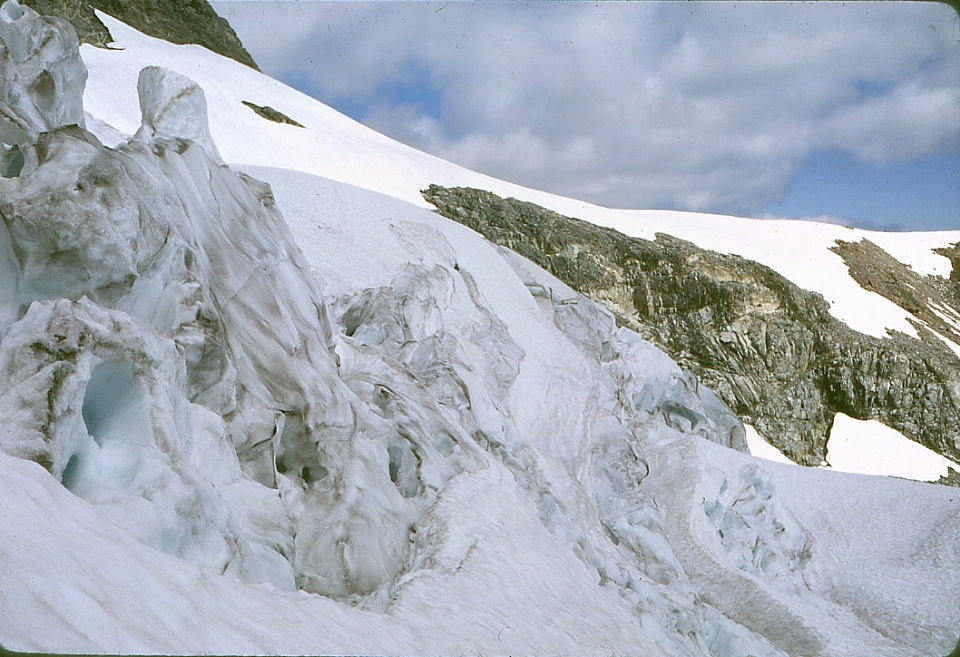
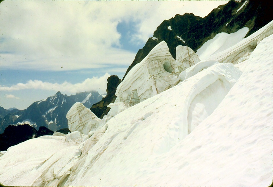
They're not kidding about Class 3 and dangerous when snowy or wet. The smooth rock slopes too steeply to stand just anywhere. One can only stand on the nubbins that stick up here and there, most about the size of your hand or knuckles. Occassionally, there are bigger nubbins on which one can sort-of sit to effect a tenuous belay. We did not climb back down across this face; instead, we descended, first along the northeast ridge, and then onto the northern margin of the Mary Green Glacier. We eventually had to make a ca. 50-foot rappel into the moat between the side of the glacier and the rock, about which, more, later. After that it was just downhill back to camp.
This climb has everything: Hiking; talus slopes; crevassed glacier; exposed rock climbing; route finding ... rapelling; ... snow-cliff climbing; more route finding; ... night hiking.


