| Section VI - Massey Data Bank | One Maryland Massey Family by George
Langford, Jr. 1901-1996 ©Cullen G. Langford and George Langford, III, 2010 |
Maryland Land Records, Kent County, Unpatented Certificate #128
Daniel Massey, January 16, 1753
| January 16, 1753: Daniel Massey obtained a warrant (dated August 29, 1732) to have his 650 acre tract called Partnership
(part of a 3,000 acre tract originally granted to Daniel Toas on
February 17, 1681) and a contiguous tract of 60 acres of vacant land
resurveyed, the two tracts together making a combined 710 acre tract
called London Bridge Renewed. The survey was performed by George Garnett, Deputy Surveyor for Kent County. Kent Count Clerk: William Stewart. Note: High-resolution images of the document at right can be viewed at the Maryland State Archives, but registration is required in advance of doing so. Once you have registered, you can access the images by locating the appropriate certificate here: Kent County Circuit Court, Land Survey, Subdivision, and Condominium Plats, MSA S1224: (Certificates, Unpatented, KE). |
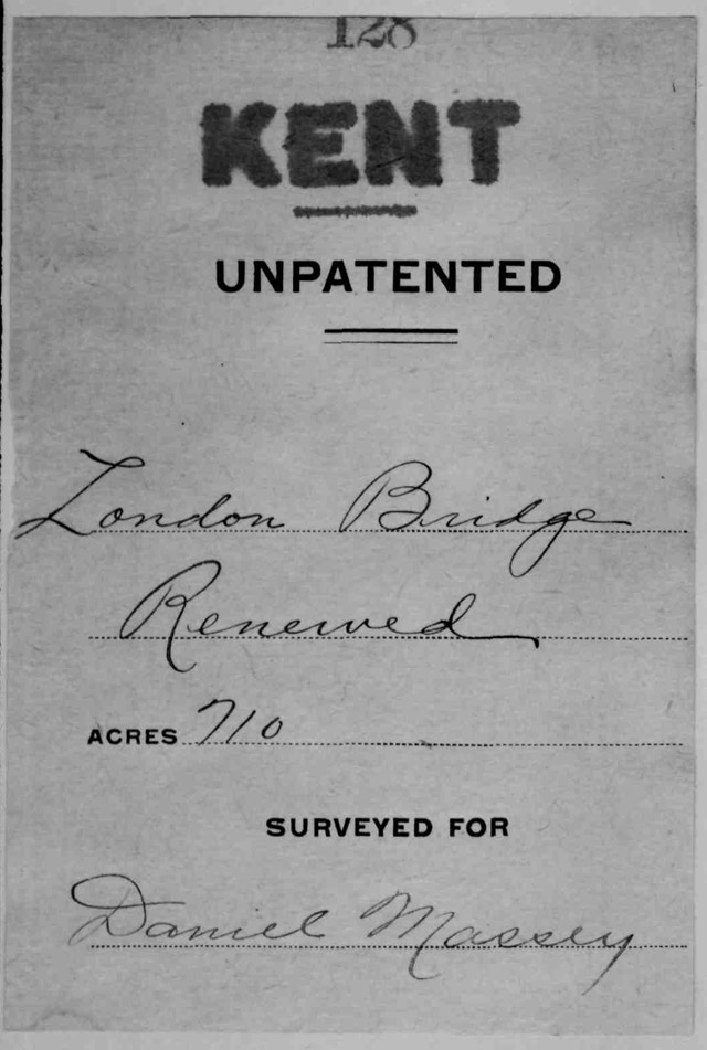
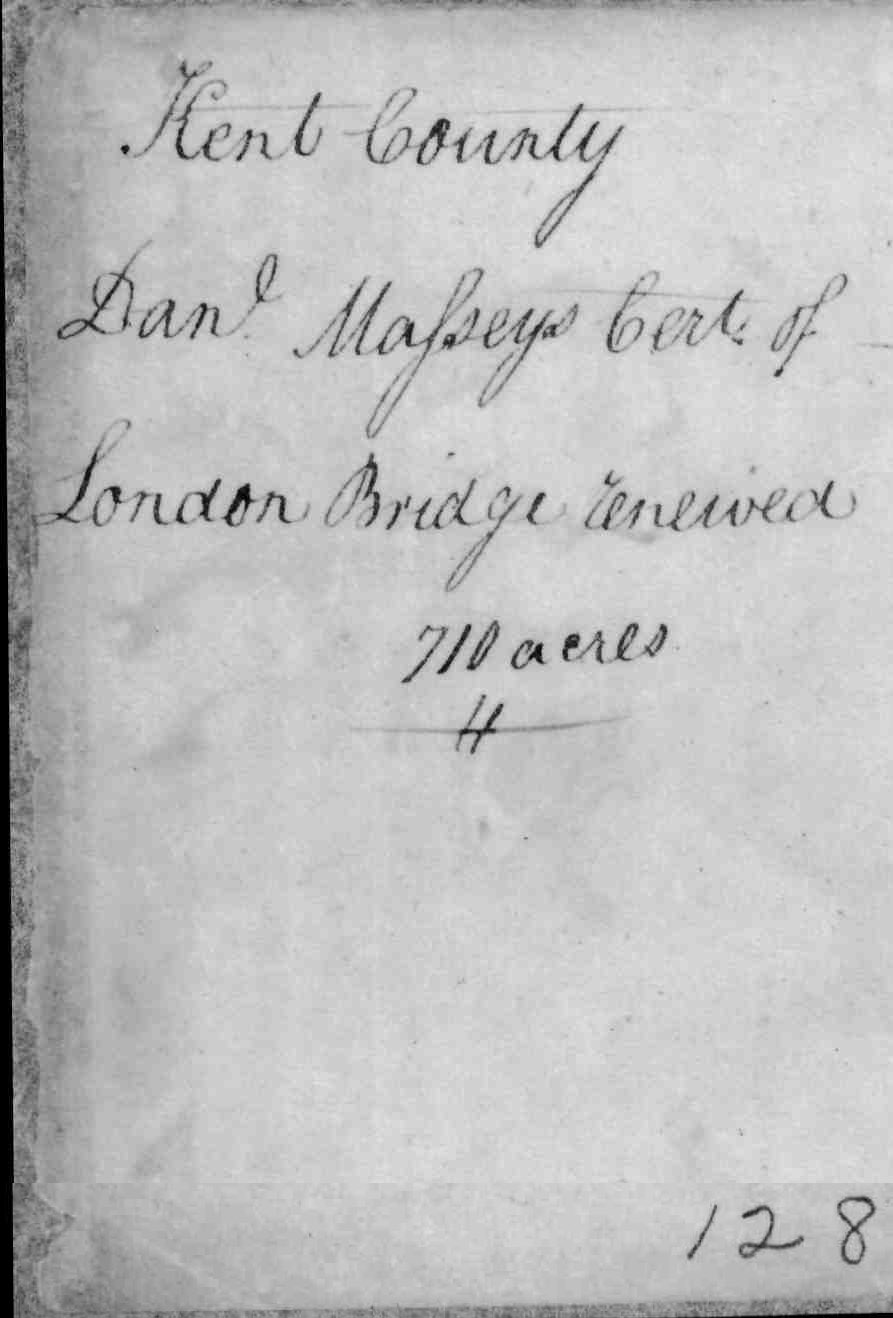
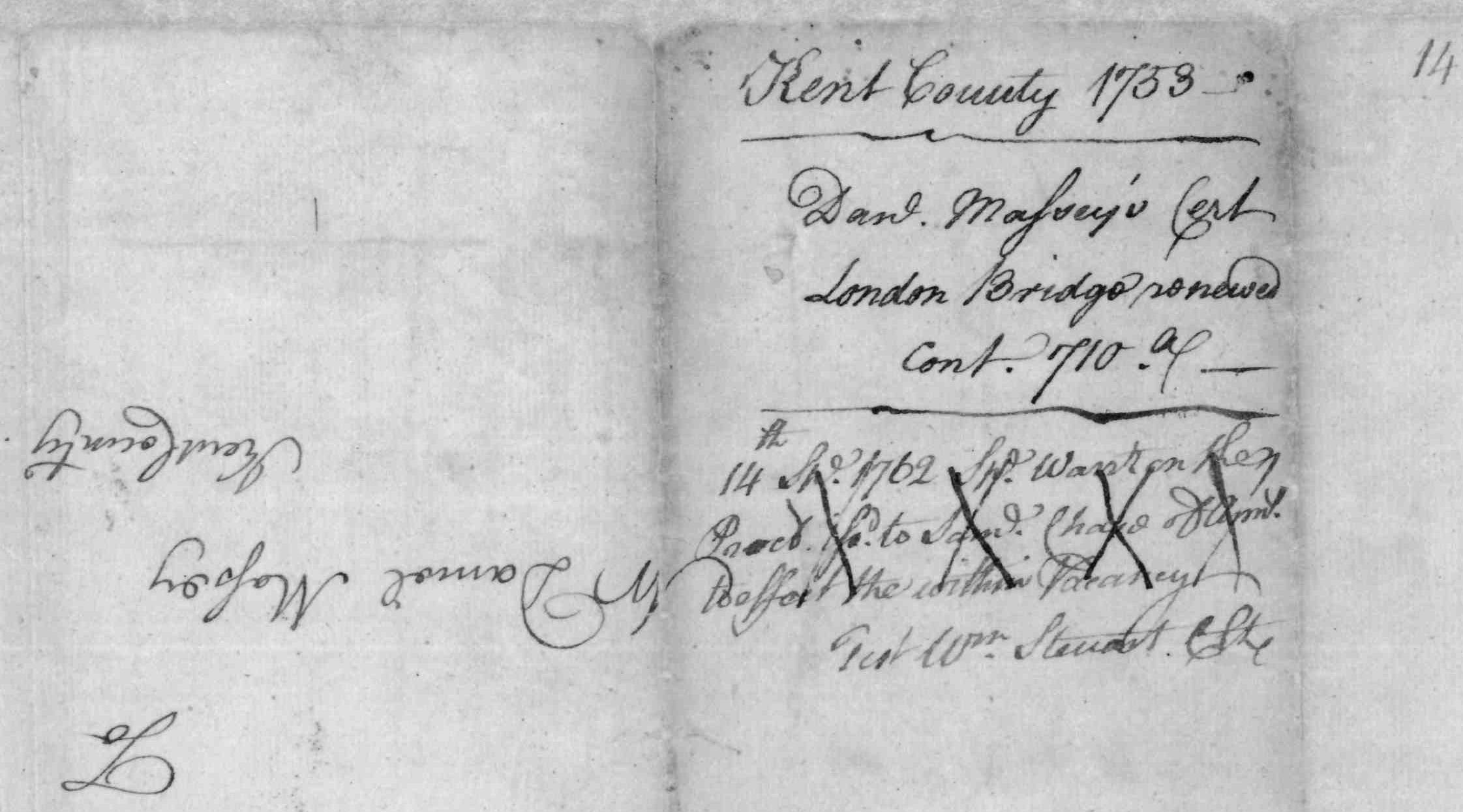
| Page 1: Kent County, unpatented: London Bridge Renewed, 710 acres; surveyed for Daniel Massey. Page 2: Kent County; Daniel Massey's certificate of London Bridge Renewed, 710 acres, number 128. Page 3: Kent County 1753; Daniel Massey's certificate, London Bridge Renewed, containing 710 acres. The following text was crossed out on this page:
And upside down also appear the words: To Mr. Daniel Massey Kent County
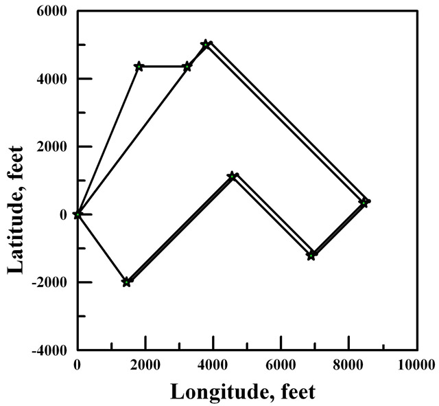
Pages 4 and 5: Kent County Maryland: by virtue of the special warrant of resurvey granted unto Daniel Massey of Kent County bearing date the 29th day of August 1732 to resurvey sixty acres of land being part of a tract of land called Partnership lying in Kent County originally on the 17th day of February 1681, granted unto a certain Daniel Toas for 3,000 acres under non-rent with liberty thereon given to adjoining vacant land lying contiguous to his part thereof and to reduce the same into one entire survey as by the said warrant may appear etc. These are therefore humbly to certify that I, George Garnett, Deputy Surveyor of Kent County under the Hon. Benjamin Tasker, Junior, Esquire, Surveyor General of the esteemed [illegible] of Maryland have carefully resurveyed and laid out for and in the name of him the said Daniel Massey all his part of Partnership. Beginning at a bounded mulberry post standing in the place of the original beginning tree of Partnership and running thence North East by North two hundred and eighty six perches then East eighty six perches thence with a straight line to the beginning mulberry post containing and now resurveyed for sixty acres of land more or less. Also I have by virtue of the aforesaid warrant resurveyed and laid out for and in the name of him the said Daniel Massey the parcel of vacant land lying contiguous to the aforesaid part of Partnership. Beginning at the boundary mulberry post standing in place of original beginning of Partnership and running thence North East [thirty seven degrees East of North works better - GL,III, ed.] four hundred] three hundred and eight works better - GL,III, ed.] perches and South East four hundred perches then South West one hundred and thirty three perches and one third of a perch then North [North West - GL,III, ed.] two hundred perches then South West two hundred and sixty six perches and two thirds of a perch thence with a straight line to the beginning mulberry post containing six hundred and fifty acres of land more or less. And lastly I have by virtue of the said warrant reduced the aforesaid part of Partnership so as aforesaid resurveyed together with the said vacancy added into one entire survey now called London Bridge Renewed. Beginning for the out bounds thereof at the bounded mulberry post standing in the place of original beginning aforesaid Partnership and running thence North East by North two hundred eighty and six perches then East eighty six perches then North East sixty perches thence South East four hundred perches then South West one hundred and thirty three perches and one third of a perch then North West two hundred perches thence South West two hundred and sixty six perches and two thirds of a perch thence with a straight line to the beginning, containing and now resurveyed for seven hundred and ten acres of land more or less. To behold of his Lordship's Manor of Baltimore in Kent County this sixteenth day of January, seventeen hundred and fifty three, by George Garnett, Deputy Surveyor, Kent County. I do hereby humbly certify that there is contained on the vacant land added on this resurvey about 100 acres of cultivated ground, 12 scattering apple trees, one old 40 foot tobacco house, [and] two old small log houses. Teste:
George Garnett, Deputy Surveyor
|
|