North
Cascades 1968 with the Explorers Club of Pittsburgh
8. The Views from Whatcom
Pass
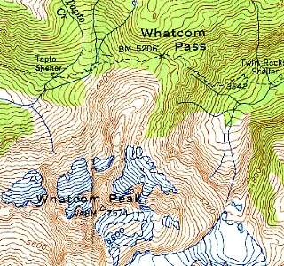 |
The map at left
shows our destination, Whatcom Peak. This
link shows the larger immediate area within our view during the
climb. The routes of the first
day's hike and the second
day's hike. The maps are scanned from the Mt. Shuksan (1950) and Mt. Challenger (1953) 1:62,500 series USGS topographic maps of the State of Washington. Here is the entire area of interest. You can look at the Mt. Shuksan 1:24,000 series topographic map here. Whatcom Peak can be found here. |
 |
The scene at left is what came into view upon reaching Whatcom Pass. It looks very much like the view of Crawford Notch from Mt. Willard in New Hampshire. The glacier that formed Crawford Notch overrode Mt. Willard, plucking rock from its face so as to form a cliff with one of the most impressive views in the eastern US. Much the same seems to have happened here at Whatcom Pass. |
 |
Evidence of
glaciation - striae
on the face of exposed rock at Whatcom Pass. |
 |
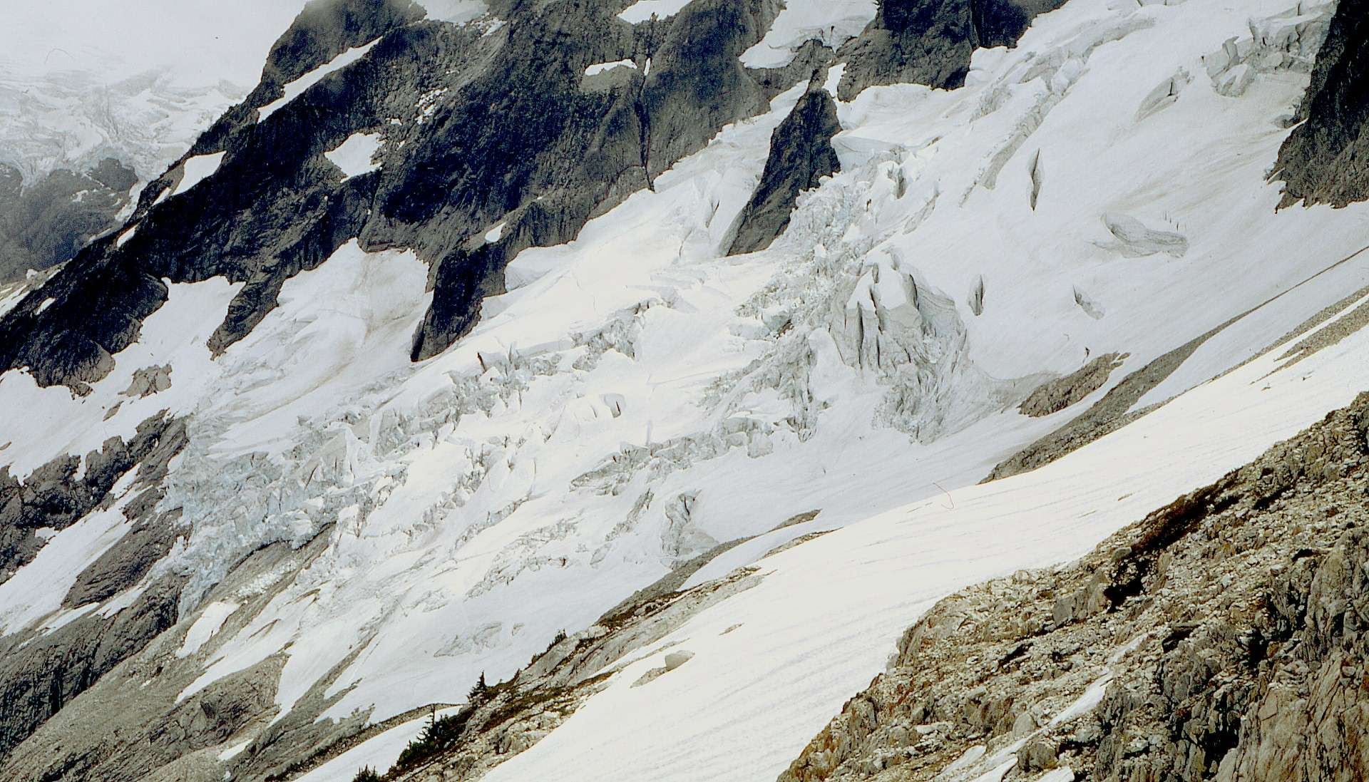
Glacier
below Whatcom Peak. Glaciation on a smaller scale, about half
a square mile of it. There are people walking across this glacier; they can be seen in the enlarged image. |
 |
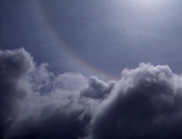
This rainbow
formed by dispersion of light through ice
crystals in the clouds above Whatcom Pass. |
 |
I think this is Bear
Mountain as seen across Whatcom Pass
from the lower portion of the Whatcom Peak climb. Below: Click on an image to see it in greater detail. |
 |
 |